Peak District Walk | Stanshope to Milldale to Dovedale and Back

Storm Arwen struck the UK at the end of November 2021. It arrived a couple of days before our planned travel to the Peak District. In Enfield, we did not see any effects of the storm and we headed to the Peak District as per our original plan. It was only as we neared the Peak District did we realise the extent of the havoc caused by the storm across northern England. Stanshope our base for the first few days of our trip was blanketed in snow and without power. We still decided to go ahead with our holiday and it turned out to be a unique experience. More about our stay at Stanshope Hall in another post though. This post is about a lovely walk from Stanshope to Milldale to Dovedale and back.
Stanshope is a small hamlet located between the villages of Ilam and Alstonefield in Staffordshire. Our walk began from Stanshope Hall but if you are not staying in this area, you could drive down to the Milldale Car Park and begin your walk from there.

Contains affiliate links
From Stanshope Hall we made our way to Grove Farm. We walked through a snow-covered field, over a wooden stile, across another field and then crossed another gate and headed down a narrow track to Milldale. The path was downhill and steep in some sections and because everything was covered in snow, it was a bit tricky to navigate.

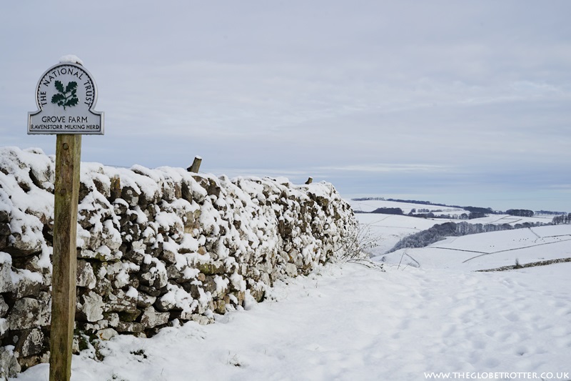

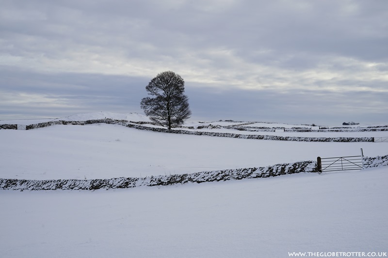
Eventually, the path emerges near Bankside Cottage in Milldale. Turn right and head towards the end of the road. Here you will find Polly's Cottage, a lovely little place to grab a drink or snack (open seasonally). Just after the cottage, to the right, you will find Milldale Information Barn and public toilets.
At this point, across the River Dove is a packhorse bridge (Viators Bridge) which leads out of Milldale onto the riverside path to Dovedale.


We had visited Dovedale earlier but it was in the Summer months and the area was all shades of green and simply stunning. And it was quite busy too. This time around it was carpeted in snow (still looked stunning) and the best part was it wasn't crowded at all. We met a couple of other walkers during the entire walk and it was like we almost had the entire route to ourselves.
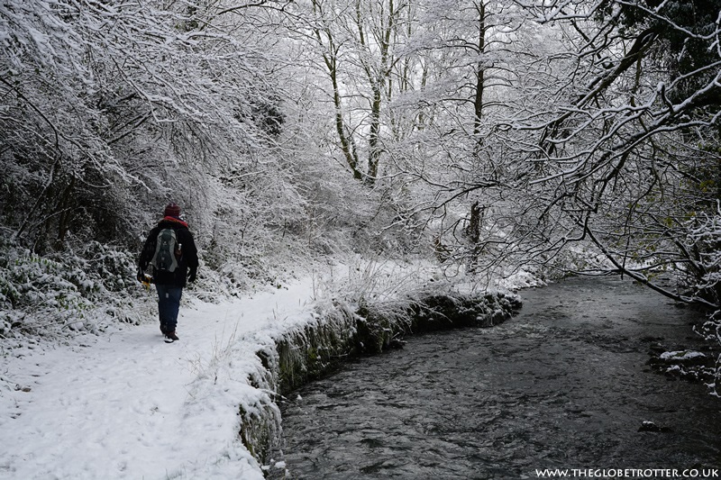

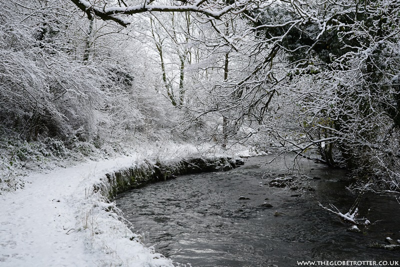
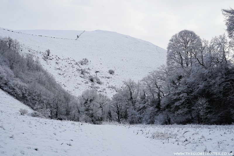
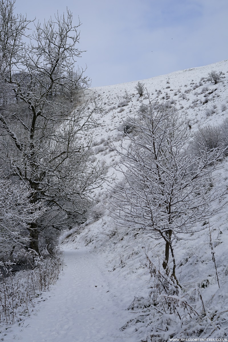
The snow had stopped falling when we set out for our walk and it was so peaceful and serene as we walked the riverside path. Every turn and every bend revealed beautiful winter scenery. It was like Narnia's beautiful winter wonderland. Stunning!
As we continued along the path, we arrived at the first cave - Dove Holes. It is actually two caverns, the first one is smaller and then right next to it is another larger cavern. Both the caverns were easily accessible, but a little slippery at places.


Thousands of years ago, these caves were said to have been used as shelters by hunters and as tombs by farmers. The Buxton Museum and Art Gallery in Buxton houses some of the material that was collected from the Dove Holes in the early 1900s.
After exploring these caves, we continued ahead until we reached the Ilam Rock. Ilam Rock is a large, free-standing, limestone pinnacle. Towering tall over the River Dove, it is one of the most prominent rock architectures in Dovedale.
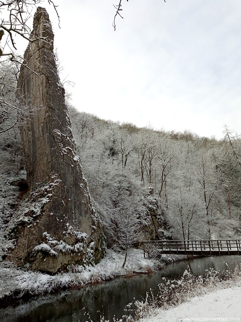

At this point, there is a footbridge over the river.

We continued walking and reached another cave or rather a small inlet along the riverside path. The path now turned into a wooden track along the river.


A little ahead, hidden up on a slightly sleep stope is the entrance to the next cave, Reynards Cave. It is very popular with climbers. We did not head up as it was slippery and the snow made it more challenging.
We carried on walking until the distinctive conical shape of Thorpe Cloud appeared on the scene. Reaching a height of 942 feet above sea level, Thorpe Cloud is a prominent landmark in Dovedale and it looks like it is standing guard over the stepping stones of Dovedale. Climb up and you will be afforded great views down the dale.

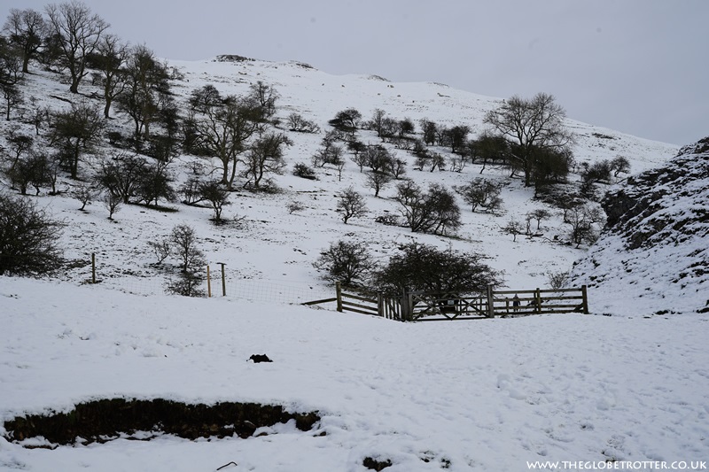
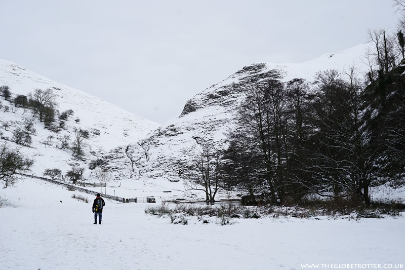
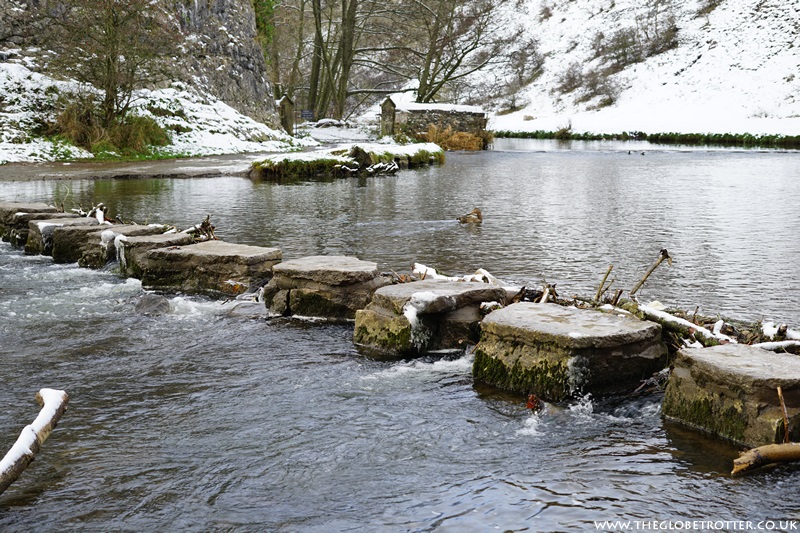
Because of the snowfall, the place was practically deserted; it was such a contrast from our earlier Summer visit when there were swarms of people near the Stepping Stones.
We crossed the Stepping Stones and continued ahead.
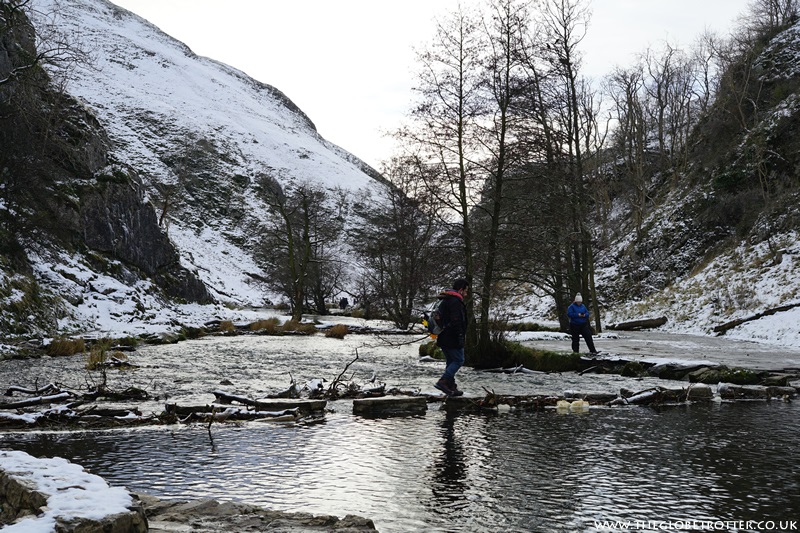
Closer to the Dovedale Car Park, there is the Izaak Walton Gauging Station which was built in 1969 to measure continually the flow of water in the river.
Once we reached the Dovedale Car Park, we looped back and made our way along the same route to Ilam Rock. Here, there is a signpost towards Stanshope.
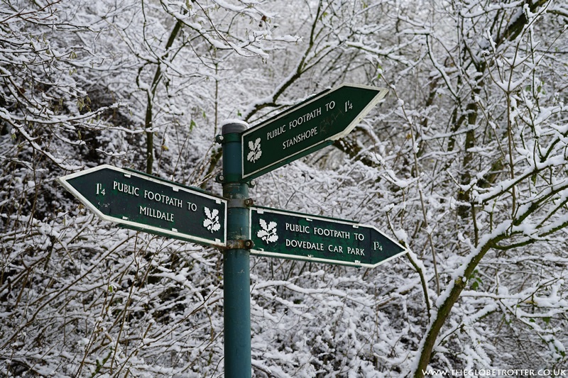
We crossed the wooden bridge, turned right and continued along the riverside path (this time on the other side of the river).

A little ahead there is another signpost for Stanshope. We followed the path uphill to the dale and made our way over Hall Dale. It was stunning!

We followed the markers and arrived back at Stanshope just in time before it got dark!
The walk from Stanshope to Milldale to Dovedale and back was around 7 miles. If you do the walk from Milldale to Dovedale and back, it works out to around 6 miles.
- If you plan to do the walk in the colder months, do bring extra layers and a rain jacket.
- Pack a headlamp or a flashlight, if you plan to explore the caves along the route.
- Make sure you wear the right footwear as the caves and some sections of the route can be slippery.
- And don't forget to pack some snacks and carry a bottle of water to keep you hydrated and energised on your walk.
- The route is pretty easy to navigate but if you need a map, you can look at the Map of The Peak District - White Peak Area from the Ordnance Survey.
- Public toilets are available at Milldale and Dovedale Car Park.
If you liked this walk, you might also be interested in the Chee Dale Stepping Stones Walk which is a beautiful circular walk in the Peak District.

I love the view you got during these walks. The snow makes this walking trail so beautiful.
ReplyDeleteI live right next to the Taff Trail so for me its a wonderful place to walk locally. I also really enjoy walking the West Wales coastal path which is about an hours drive away
ReplyDeleteWe love a walk around the lake at Wicksteed park in Northamptonshire!
ReplyDelete