London LOOP | Section 17: Cockfosters to Enfield Lock
The London Outer Orbital Path (London LOOP) is a 150-mile, circular, London walking route made up of 24 sections. The walk takes you through green spaces, woods and fields around the edge of Outer London.
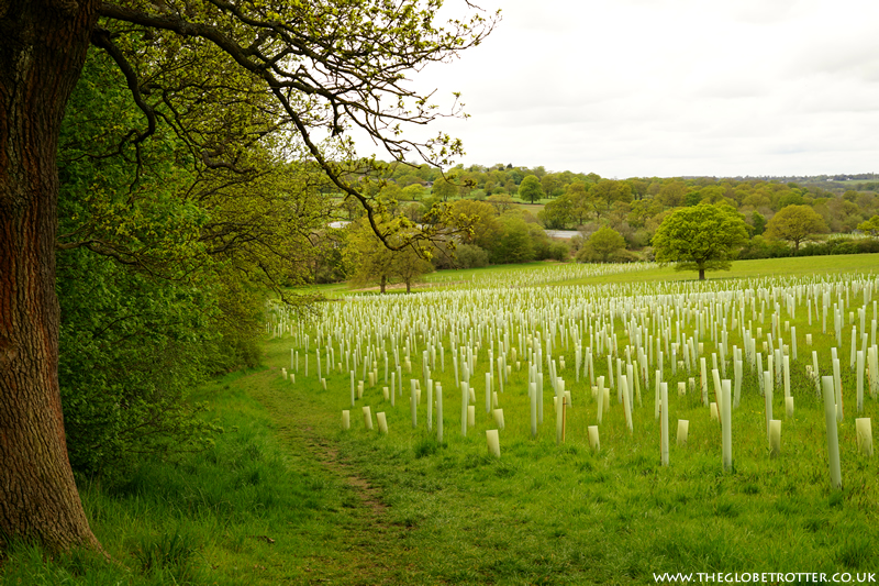
Section 17 is a long (9.5 miles) and beautiful part of London LOOP and takes you from Trent Park through the farmland of Enfield Chase, Hilly Fields Park and the Forty Hall Estate. Section 17 ends at the footbridge over the Brook (near Enfield Lock Station) which is where Section 18 of the London LOOP begins.
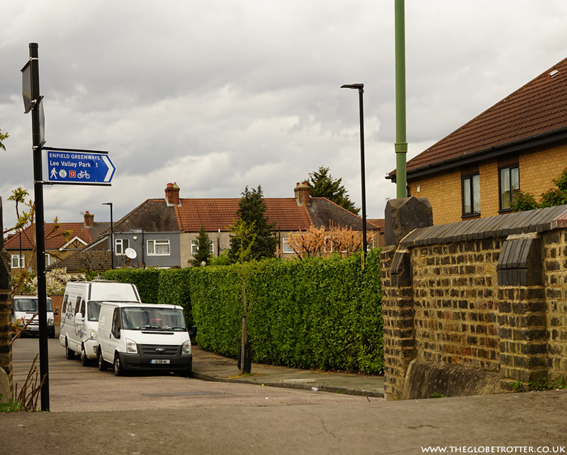
The route is fairly well-marked with signposts and markers (discs on wooden posts) with the London LOOP logo - a flying kestrel.
Section 17 of the London LOOP | Cockfosters to Enfield Lock
After walking Section 18 of the London LOOP sometime back, we decided to walk Section 17.
Section 17 of the London LOOP covers a distance of 9.5 miles (15kms) starting from Cockfosters Station and ending at the Brook (near Enfield Lock Station). The walk is mostly on rough tracks, un-surfaced rural paths and over grassland and there are five stiles to cross.
Section 17 : The Route
From Cockfosters station, enter into the station car park and follow the narrow path (waymarker on post indicates direction). It will take you across Church Wood and to Trent Country Park. You will come onto a road which forks into two with an obelisk between the two paths. Take the road on the left and continue across the Car Park and Trent Park Cafe until you reach the London LOOP information board.
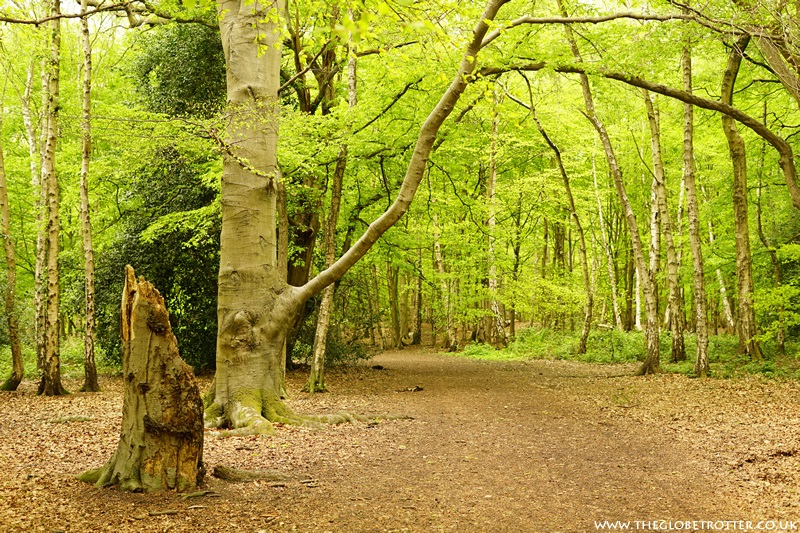
At the information board, take the path on the left. It leads you into Oak Wood. Follow the path until it forks into two at which point you stay on the path on the right. Continue walking and then turn left, walking past a water body on your right.
Continue on the path, up the hill and into the woods. There is a waymarker on this section to guide you in the right direction.
Follow the path to the edge of the wood. Cross a kissing gate. From here you can see the Earl of Harold Memorial (Sassoon's Obelisk erected in 1702).

Turn left at the road and a short distance ahead cross the road go through the kissing gate.
A narrow path will take you down the hill to the Jubilee Path.

Here you turn right and follow Salmon's Brook. Continue until you come to a bridge, cross it and turn right. Go over the stile and follow the path with the brook now on your right.

You continue on this path, cross two more stiles, go through some fields before following a path leading up the hill.


You will arrive at Brooke Wood. Cross the kissing gate and follow the path towards the road. At this point you can see the London skyline in the distance (photo below).
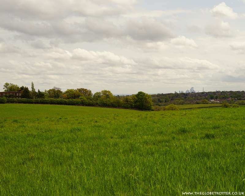
Continue walking on the path along the hedge and you will reach yet another stile.
Cross it, and cross The Ridgeway Road. Turn right and continue down the road. Just beyond the Royal Chace Hotel, turn left down the down Rectory Farm Road. This road also leads to the Clay Shooting site. As you reach the end of the road, you will see some sheds. Continue past them and cross the bridge over Turkey Brook. Continue on the path up the hill. You will pass under a railway bridge. A little ahead, turn right. Continue on Strayfield Road. You will pass a row of glasshouses on the right (a wholesale plant nursery) and then the North Enfield Cricket Club. A short distance ahead, take the path on the right to Hilly Fields Park.

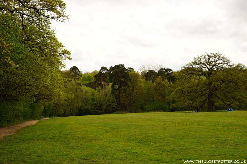

Continue along the path, through the park, going past Hilly Fields Park Bandstand and arriving at the Clay Hill Road. You will see the The Rose and Crown Pub on the other side of the road. Cross the road, and continue walking on the path just next to the pub.
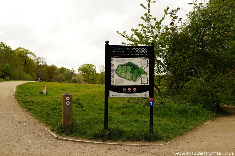
Keep walking on the path, and it will lead you to Forty Hall Estate in Enfield. Continue ahead, with the Turkey Brook on your left. You will pass the Woodlands Lake in Forty Hall Estate.

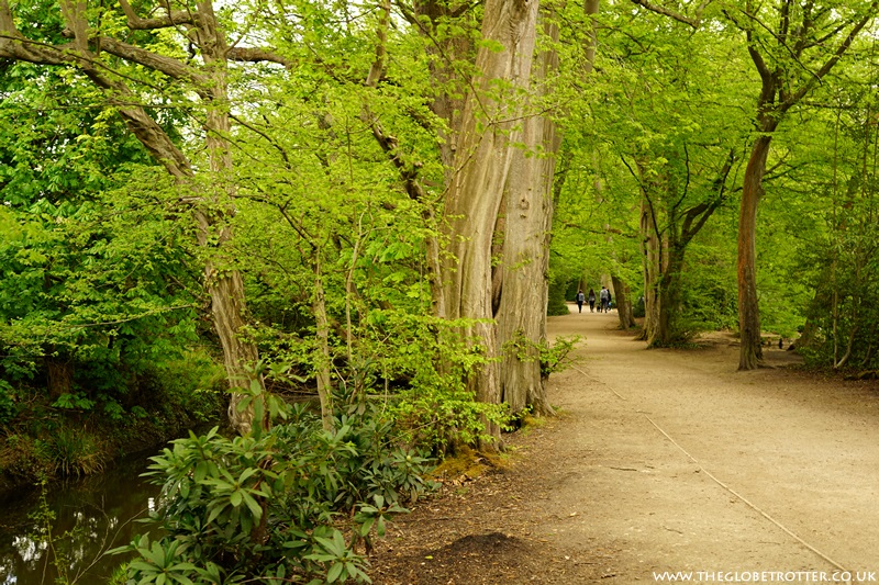
Continue walking until you reach an information post.
Keep right here and head to the road. Cross the road, and continue on the path next to the Forty Hill CE Primary School. Keep walking until you reach Great Cambridge Road. Cross the road and follow the path that runs parallel to Enfield Crematorium & Cemetery. You will go under the railway bridge and reach Winnington Road. Turn left here and you will emerge on Turkey Street. Turn right and walk until you reach Hertford Road.
Cross the road, turn right and then turn left into St. Stephen's Road. Follow the road, and when the road curves, join the Prince of Wales Footpath. The LOOP now again runs parallel to Turkey Brook. Continue on the path, through Albany Park and cross the railway bridge. When you are on the other side, there is another small bridge across the brook. This is where Section 17 ends!
Note: The nearest railway station from this point is Enfield Lock station. From the bridge, walk ahead to the end of Bradley Road, turn left and you arrive at the station.




Post a Comment